Riserva Naturale Regionale lago di Serranella
This post is also available in:
 Italiano (Italian)
It has an extension of 300 hectares to which 200 hectares are added in the buffer zone. It covers the space between the Adriatic coast and the Majella massif at an altitude of about 90 meters above the sea level, in the municipalities of Altino, Casoli and S. Eusanio del Sangro. It was created as a WWF’s Oasis in 1987 to become in 1990 a regional reserve.
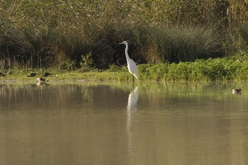
The Serranella lake is an artificial reservoir created in 1981 because of industrial and irrigation reasons. It is located in the confluence point of the rivers Sangro and Aventino. It is a swampy environment rich in life and it is an important wet area, a resting place for migratory birds along the Adriatic route. The reserve has an exceptional vegetative richness with about 25 vegetal associations connected to water environments, which is a rarity.
FLORA
The swampy vegetation is characteristic of this area with wide rushes of (Phragmites australis). It is peculiar the community of Typha laxmannii, a species known in Abruzzo only because of the reserve of Serranella. As people get close to the lake shores, it is possible to find riparian vegetation areas where there are Salix triandra, Salix purpurea and Salix eleagnos. Among the rarest and interesting species there are Epipactis palustris, a rare orchid of well conserved swamps and Groenlandia densa.
FAUNA
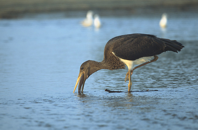
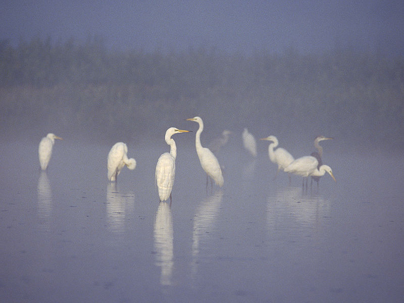
The most important naturalistic aspect of the reserve is the richness of bird species; because of its geographical position, it has become a strategic point for the birds’ migrations along the Adriatic coast. More than 200 species of birds have been registered, of which numerous are rare like glossy ibis, ospreys and black storks. The species which nest here are more than 70 like the white-cheeked pintail, which has been chosen as the symbol of the protected area. Recently, it has been confirmed the presence of nests of night herons and of Himantopus himantopus in the Serranella area, the first site in Abruzzo.
The activities of the reserve.
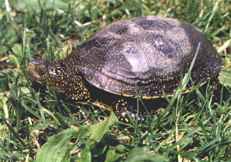
The reserve hosts the “Centro di Educazione Ambientale del Fiume” (CEA) which promotes not only activities traditionally destined to the world of education and formation, but also actions to arise consciousness in the population and involve them; it supports also scientific and historical researches and it is counted among the centres of regional interest on environmental education, which is particularly specialised in rustic biodiversity and safe-keeping of cultivations. It is possible to visit also “Centro Testuggini” destined to the recovery, custody and upbringing of specimens of these species in collaboration with “Società Erpetologica abruzzese”. The project for environmental education started in 2006 and it is centred on the safe-keeping of rural biodiversity, which made it possible to realise two demonstration plans of Cea: a garden of Pomona with traditional arboreal cultivars of apple- pear- and plum trees, loquats, service trees and sour cherry trees, a traditional vegetable garden for education with pre- and post-Colombian vegetable species (which means before and after the arrival of American products such as potatoes, tomatoes, peppers). In this vegetable garden, traditional equipment and structures have been rebuilt: a medieval vegetable garden with a rustic environment, a barn, the “rola” (a seedbed).
THE PATHS
Sangro path: it starts at the visitor centre and it allows people to observe the “Centro Testuggini” and the faunal area. It is a nature trail in which educational activities are carried out with young students and people in order to allow them to observe the typical habitat of a plebbly riverbed.
Vegetable gardens path: it is of panoramic and cultural interest and it allows to observe closely the ancient system of vegetable gardens related to river environments and the protected area at its highest panoramic point, then people go back to the visitor centre.
River path: visitors are allowed to observe closely the environments, vegetation and fauna of the confluence point of the rivers Aventino and Sangro,in the Altino territory.
Path of “lanche”: it crosses an area, which has been subjected to refurbishments in the last years in order to create the ancient river landscape. It is a path of suggestive beauty both from a landscape and nature point of view, which has been enriched by contemporary artistic interventions.
Gogna Path: a long itinerary, which follow the Gogna creek until about the village of Sant’Eusanio del Sangro. The area is characterised by a wide flat land, where the creek forms numerous branches covered by a luxuriant vegetation enriched by the presence of rare plants.
This post is also available in:
 Italiano (Italian)
Contatti
Sant'Eusanio del Sangro()
0872 50357
serranella@wwf.it
Altre info
Tutto l'anno


