Lame del Sesia Natural Park
This post is also available in:
 Italiano (Italian)
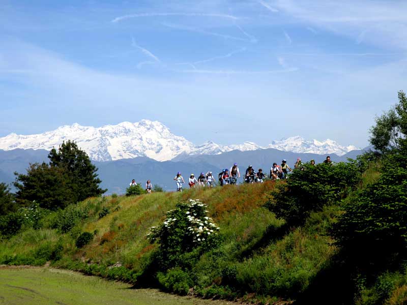
Lame del Sesia Park covers 2.051 acres in the provinces of Novara and Vercelli. It is crossed (4.66 miles) by the Sesia River along its entire length and is located at altitudes ranging from 524 ft (northern border) to 443 ft meters (southern border); the park also sits at about 1.2 miles from the ancient fluvial terraces called “Baragge” in the local dialect, and among the last remnants of the once widespread heaths.
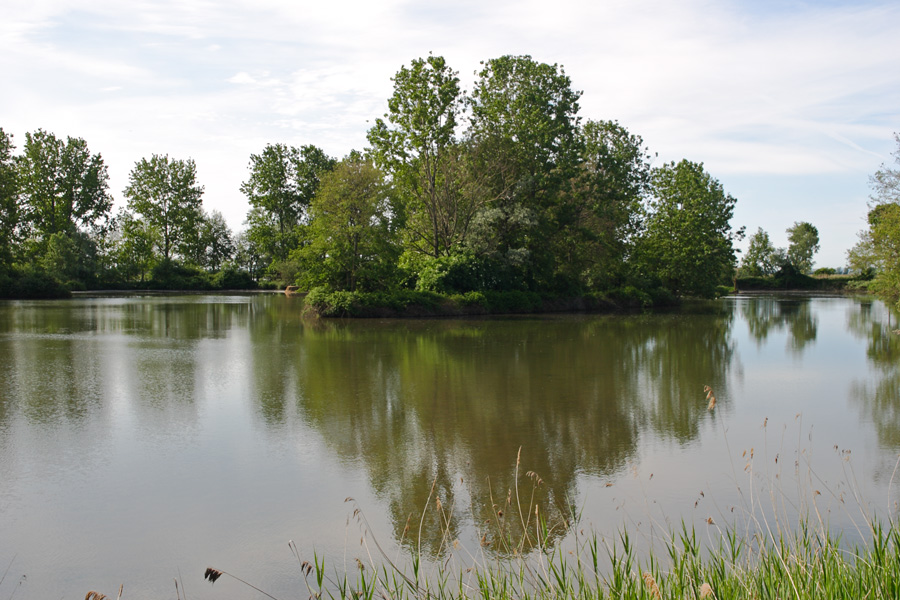
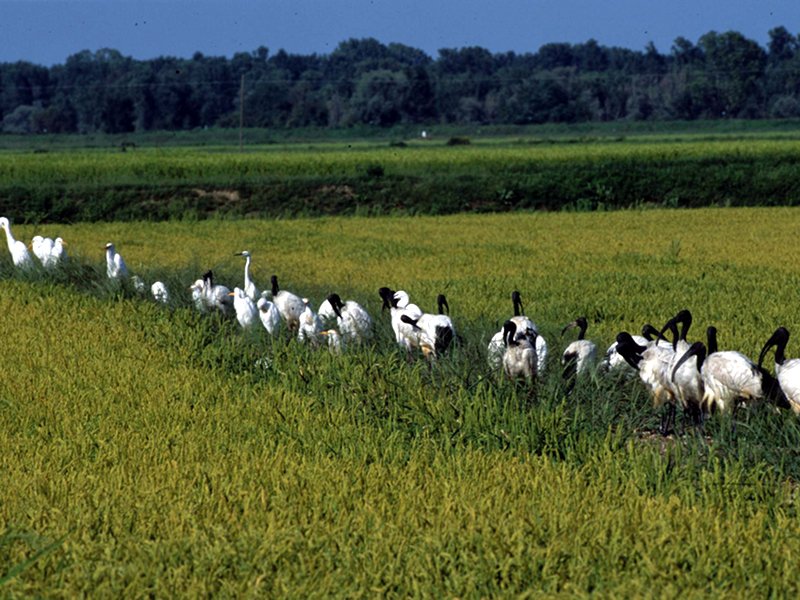
The park was created to protect the river environments, their fauna, and their flora, like green patches, stretches of water, woods, as well as screes and sands, which dramatically contrast with the surrounding landscape full of rice paddies.
The morphological aspect of the territory is strictly conditioned by the Sesia River; the latter features the typical behavior of a torrent, with dramatic changes in the level of its waters – that very feature has contributed to creating all the different microenvironments within the protected area. The source of this watercourse, whose hydrographic basin covers 1.128 square miles, is found on Mount Rosa at about 9.842 ft above sea level.
The terraces created by the river in the municipality of Villarboit are made of a poorly fertile type of clay, rich in iron oxides and hydroxides that give it a reddish color locally known as “ferretto”.
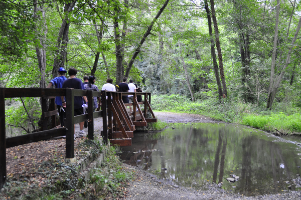
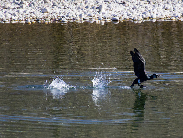
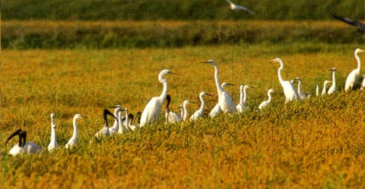
Rich in walking or cycling paths and a “life path”, for those who love to exercise among luxuriant nature, the park has been playing an important role in monitoring, recording, and ringing the local avifauna for years; the bird population is, in fact, quite abundant: in 2002, for instance, more than 8.000 nests were counted. All year round, bird capture events and specimen census days are often opened to visitors and schools.
Furthermore, the most renowned superfine (Carnaroli, Baldo), fine, and long-grained (Sant’Andrea) types of rice are grown around the Park.
Points of interest in the Park
-In San Nazzaro Sesia, there is the Benedictine Abbey of Saints Nazario and Celso, built in 1040 by Riprando, the bishop of Novara, with the help of the Counts of Biandrate. The sacred buildings within the complex, surrounded by a defensive wall, date back to different eras: the bell tower and the two sides of the narthex belong to the Romanesque period, while the church was erected in the XV century; the current cloister is the result of transformations that took place in the XIV and XV centuries.
Just outside the town, there’s the sanctuary of Madonna della Fontana: its construction started at the end of 1500 on a natural spring and the sacred building allegedly used to be a place of worship in the pre-Christian age. The water from the spring actually flows near the altar and emerges from an opening made in the wall of the church.
-In Greggio, there are traces of the “Ricetto”, a group of houses enclosed within a wall with defensive towers for protection in case of danger. They were built in the late Middle Ages, mostly using river pebbles bound with mortar and arranged in a “herringbone” pattern – according to a popular construction style in that area. The Municipality is also crossed by the Cavour Canal which actually runs under the Sesia River thanks to an artificial siphon: an important example of hydraulic engineering.
-In Albano Vercellese, you can admire the castle, built in the XV century on some previous fortifications; it has three large pointed windows decorated with polychrome tiles and a beautiful entrance tower. Just outside the town, towards Vercelli, there is the ancient church of SS. Trinità which preserves valuable XV century frescoes.
This post is also available in:
 Italiano (Italian)
Contatti
Via XX settembre,12 - Albano Vercellese(VC)
0161 73112
infoparc@lamedelsesia.vc.it
Altre info
Ingresso gratuito
Tutto l'anno. Visite guidate su prenotazione.
